

Himalayan & Mountain Shrines
Charan Paduka Trek - Badrinath Ji Dham
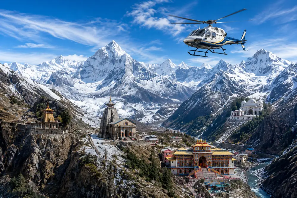
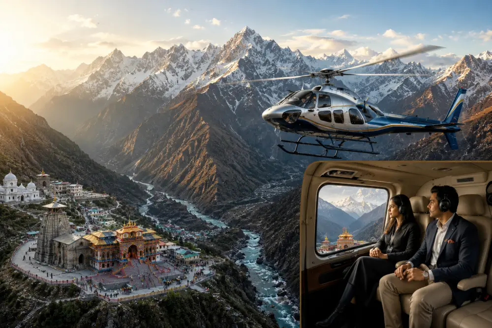
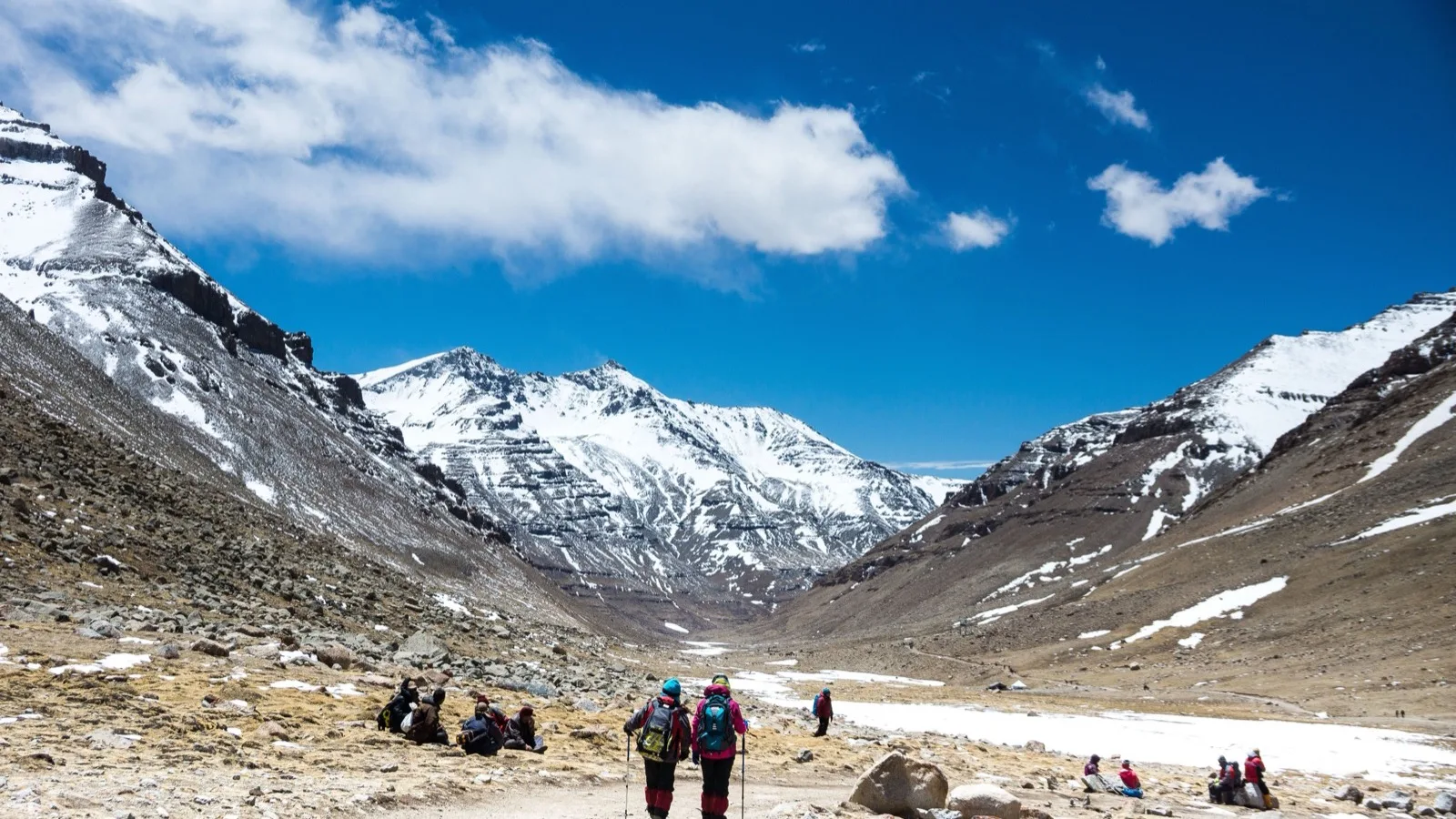
The sacred basin of Badrinath, located in the Chamoli district of Uttarakhand, India, is defined by its dramatic high-altitude geography.
 By Prerak "प्रेरक"
12 min read
By Prerak "प्रेरक"
12 min read

Sacred Footprints in the Garhwal Himalayas: Charan Paduka Trek
Spatial Topography and Navigational Discrepancies
The sacred basin of Badrinath, located in the Chamoli district of Uttarakhand, India, is defined by its dramatic high-altitude geography. This sacred settlement lies at an elevation of 3,133 meters (10,279 feet) above sea level, nestled on the banks of the Alaknanda River and flanked by the Nar and Narayan mountain ranges. While the administrative and ritual focus of the region is the Badrinarayan Temple, the broader landscape features a network of secondary shrines, caves, and geological formations that expand the sacred space of the valley. Among these, Charan Paduka is highly significant, serving as both a theological destination and a physical challenge for pilgrims.
A rigorous geographical review of literature regarding Charan Paduka reveals a notable spatial and cartographic discrepancy. Several tourism databases and travel itineraries document the elevation of Charan Paduka as 3,380 feet. This measurement is geographically impossible, as the town of Badrinath itself is situated at 10,279 feet. Placing the shrine at 3,380 feet would locate it deep beneath the earth or thousands of feet lower in the Alaknanda valley.
The actual elevation of the Charan Paduka boulder is 3,380 meters (11,089 feet) above sea level, situated on the slopes of Narayan Parvat. This correction clarifies that the trek requires an active vertical climb of 247 meters over a horizontal distance of 3 kilometers.
This moderate-to-strenuous gradient explains why the climb is physically challenging for unacclimatized travelers, requiring slow pacing and steady footing.
Furthermore, geographical sources present conflicting reports regarding the distance and duration of the journey to Charan Paduka. These inconsistencies can be resolved by distinguishing between two different points of interest that share the same name in the local pilgrimage economy :
| Parameter | Lower Access Path (The Gate Shrine) | Upper Sacred Boulder (The High Ridge) |
| Documented Distance |
0.5 km to 1.0 km |
2.5 km to 3.0 km |
| Physical Location |
Edge of Badrinath town, near Bamni Village |
Slopes of Narayan Parvat |
| Altitude |
~3,133 meters |
3,380 meters (11,089 feet) |
| Walking Difficulty |
Easy; flat or gently sloping paved path |
Moderate to Strenuous; steep steps and boulder zone |
| Average Duration |
24 to 30 minutes |
1.0 to 1.5 hours (one way) |
| Accessibility |
Seniors and children; wheelchair inaccessible |
Physically fit individuals; requires trekking boots |
This division indicates that the term "Charan Paduka" refers both to the lower gateway shrine located near Bamni village and the actual sacred boulder perched high on the mountain ridges of Narayan Parvat. This distinction is critical for travelers planning their journeys, as the upper route demands greater physical preparation.
The Sacred Trail of Narayan Parvat
The journey to the upper Charan Paduka boulder begins on the left side of the Badrinath Temple complex. Within a few meters, the route turns right onto a steep flight of concrete stairs that climb the lower slopes of Narayan Parvat. This paved pathway quickly transitions into a rugged mountain track.
The trail winds through alpine meadows that are carpeted with seasonal wildflowers during the brief summer months. This sub-alpine ecosystem is also home to old-growth stands of Bhojpatra (Himalayan Birch, Betula utilis), a tree of immense cultural importance. The bark of the Bhojpatra was historically harvested by sages to write sacred texts and mantras, making the forest itself a repository of ancient literacy.
As the path climbs higher, the vegetation thins, and the terrain transitions into a boulder zone. Natural rock formations along this upper stretch have created caves that serve as seasonal hermitages. Ascetic sadhus and yogis reside in these caves during the pilgrimage season, using the isolation of the mountain for meditation and contemplation.
The trail also offers scenic views of the surrounding peaks. To one side rises the pyramid of Neelkanth Peak, known as the "shining pyramid" or the "Queen of the Himalayas". Opposite it stands Nar Parvat, while the Alaknanda valley and the town of Badrinath lie below. On the left side of the trail, the Rishi Ganga River flows through a manual diversion, dropping over a rocky cliff to form a scenic waterfall.
Geological and Mythological Syncretism
The focus of this high-altitude destination is a large, flat boulder that features distinct, human-like foot impressions. In the Vaishnava tradition, this physical rock is considered the direct imprint of divine play (lila). According to primary mythological accounts, when Lord Vishnu chose to descend from his celestial abode of Vaikuntha to the earthly plane, this boulder on Narayan Parvat was the exact spot where his feet first touched the ground. The immense spiritual energy of this contact is believed to have permanently etched the contours of his feet into the stone, creating a physical link between the cosmic and the terrestrial.
This story is further expanded by the narrative of Uddhava in the Bhagavata Purana. As the Dwapara Yuga drew to a close and Lord Krishna prepared to end his earthly manifestation, he instructed his minister and close disciple, Uddhava, to travel to the quiet sanctuary of Badarikashrama (Badrinath) to escape the spiritual decline of the incoming Kali Yuga.
To support Uddhava's spiritual practice, Krishna gave him his personal slippers (padukas). Uddhava carried these relics to Badrinath, and the scriptures suggest that when he placed them on the boulder at Narayan Parvat, the impressions of the Lord's feet were embossed onto the stone. For contemporary Vaishnavite pilgrims, obtaining a sight (darshan) of these footprints is believed to alleviate physical illness and purify karmic transgressions.
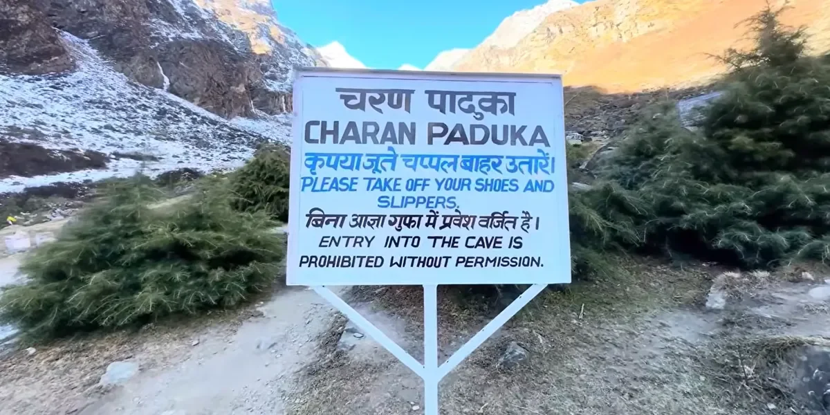
Beyond its connection to Vishnu's descent, this high-altitude plateau is also identified as the setting for the creation of Urvashi. While the twin sages Nara and Narayana were engaged in intense meditation on these slopes, King Indra grew concerned that their asceticism would threaten his heavenly throne.
To disrupt their focus, he sent a group of celestial dancers (apsaras) to tempt them. In response, the sage Narayana struck his left thigh (uru), and from his flesh emerged a nymph of peerless beauty. This newly created maiden, named Urvashi, humbled the celestial dancers and preserved the sages' focus. The event is said to have occurred near a seasonal pond located in the immediate vicinity of the Charan Paduka boulder.
The Cultural and Ecological Basin of Badrinath
The Charan Paduka trail is connected to a larger network of sacred sites and geological features that define the Badrinath region. To understand the cultural context of the basin, one must examine these nearby landmarks:
The Urvashi Temple of Bamni Village
Located approximately 1.5 kilometers from the Badrinath Temple on the banks of the Alaknanda River, the Urvashi Temple is situated in Bamni village, directly across from the cliffs of Narayan Parvat. Built in the traditional Nagara style of northern India, this simple shrine features a small stone shikhara and a brass bell at its entrance.
The temple is dedicated to Goddess Urvashi and holds deep cultural value for the local communities of Bamni and Pandukeshwar. It is recognized by local priests as one of the 108 Shakti Peethas, marking a spot where a portion of Sati's body fell.
In early 2025, this quiet shrine became the focus of a media controversy when a Bollywood actress claimed the temple was named after her and built to receive her personal prayers. This claim was rejected by local priests and community leaders, who clarified that the temple is a centuries-old sanctuary dedicated to Goddess Urvashi and Goddess Sati, with no connection to the modern actress.
The Secret Sanctuary of Ekadashi Gufa
Situated off Narayan Palace Road within the Badrinath municipal limits is the Ekadashi Gufa, a dark, natural cave of immense importance in Vedic tradition. According to the Skanda Purana, during the Satya-yuga, a demon named Mura gained control of the heavenly planets and defeated the demigods.
Lord Vishnu engaged the demon in a battle that lasted for one thousand celestial years. Fatigued, Vishnu retreated to the high Himalayas of Badrinath and entered this cave to rest.
As Mura prepared to attack the sleeping Lord, a female deity emerged directly from Vishnu’s body and slew the demon. Because she appeared on the eleventh day (Ekadashi) of the waning moon, Vishnu named her Ekadashi Devi. He decreed that anyone who observed a strict fast on her day of appearance would be freed from karmic blockages, establishing the cave as a key pilgrimage site for Vaishnava practitioners.
Nearby Spiritual Landmarks
-
Tapt Kund: A natural hot spring located near the Alaknanda River with a consistent temperature of 45°C. Devotees take a cleansing bath here before entering the main Badrinath Temple.
-
Brahma Kapal: A flat stone platform on the banks of the Alaknanda River where pilgrims perform Shradha ceremonies to offer food and prayers for the liberation of their ancestors' souls.
-
Mana Village and the Caves: Located 3 to 4 kilometers north of Badrinath, Mana is the final Indian settlement before the Tibet border. It features the Vyas Gufa, where the sage Vyas is said to have composed the Mahabharata, and the nearby Ganesh Gufa, where the text was written down.
-
Bheem Pul: A natural stone bridge spanning the Saraswati River near Mana village. According to legend, the Pandava brother Bheema placed this massive boulder here so Draupadi could cross the roaring river on their journey to heaven.
-
Vasudhara Falls: A 400-foot waterfall located 9 kilometers from Badrinath. The trail begins in Mana and climbs to 12,000 feet. Local belief holds that the water cascades away from individuals who harbor unclean thoughts.
-
Satopanth Tal and Swargarohini: A glacial, triangular lake located at 15,000 feet, which requires a challenging 25-kilometer trek from Badrinath. The surrounding Swargarohini range is identified as the physical path the Pandavas climbed on their final ascent to heaven.
These sites are compared in the following matrix to illustrate their spatial and theological connections:
| Sacred Site | Location & Coordinates | Primary Theological Theme | Diagnostic Physical & Geological Attributes | Access & Key Rituals |
|
Charan Paduka |
Narayan Parvat; 3,380 m (11,089 ft) |
Earthly touchdown point of Lord Vishnu; Uddhava's penance with the Lord's padukas |
High-altitude boulder with foot impressions ; alpine meadows |
3 km steep uphill trek ; meditation at the boulder |
|
Badrinath Temple |
Alaknanda River Bank; 3,133 m (10,279 ft) |
Seat of Lord Badri Vishal; established by Adi Shankaracharya |
Ornate stone facade resembling a Buddhist vihara ; black Shaligram deity |
Accessible by road ; daily aratis, charnamrita, and ladoo prasada |
|
Urvashi Temple |
Bamni Village; ~3,100 m |
Birthplace of Apsara Urvashi; recognized as a regional Shakti Peetha |
Simple stone Nagara architecture ; views of Neelkanth Peak |
1.5 km walking path from the main complex ; daily pujas |
|
Ekadashi Gufa |
Narayan Palace Road; ~3,100 m |
Birthplace of Ekadashi Devi during Vishnu's battle with Mura |
Enclosed, natural dark cave structure |
Short walk from Narayan Palace Road ; meditation and fasting vows |
|
Vasudhara Falls |
Nar Narayan Peak; 3,658 m (12,000 ft) |
Association with the Asht Vasus; path of the Pandavas |
400-foot high cascade; mineral-rich water spray |
6 km trek from Mana Village ; bathing and collecting water |
|
Satopanth Tal |
Glacial Basin; 4,572 m (15,000 ft) |
Seat of the Trinity (Brahma, Vishnu, Shiva) |
Triangular green glacial lake ; surrounded by snow peaks |
Challenging 25 km mountain trek ; sacred circumambulation |
Modern Expeditions and High Altitude Exploration
The path leading past Charan Paduka is more than a destination for pilgrims; it is also a gateway to some of the most challenging climbing routes in the Garhwal Himalayas.
In October of 2026, an exploratory mountaineering expedition consisting of Soumitra Kayal, Sreyadip Pradhaan, and Prasenjit Sinha began a 15-day traverse from the Badrinath Temple. They used the Charan Paduka trail as their initial access route.
After passing the paved stairs, the team crossed the boulder zone of Narayan Parvat and moved west along the Rishi Ganga (Bamniganga). They established high-altitude camps at Dumkal Bugiyal (3,876 meters) and the base of the Holdsworth Col (4,218 meters), directly beneath the western face of Mount Neelkanth.
This expedition successfully linked the valleys of the Rishi Ganga and the Khirao Ganga by crossing the Bruce Col at 4,878 meters, demonstrating how the pilgrimage paths around Charan Paduka connect with wilderness routes in the high Himalayas.
Operational Logistics and Health Precautions
Visiting the high-altitude shrines of Badrinath requires careful coordination with regional transport options, seasonal weather patterns, and mountain safety guidelines.
Regional Transport and Accessibility
Travelers planning to visit the Badrinath basin can utilize several transport options from major regional transit hubs :
| Starting Point / Transit Hub | Mode of Transport | Distance to Badrinath | Approximate Travel Time | Cost Estimates / Details |
|
Jolly Grant Airport, Dehradun |
Private Taxi / Cab |
311 km |
9 to 12 hours |
Varies by operator; requires NH-58 highway transit |
|
Sahastradhara Helipad, Dehradun |
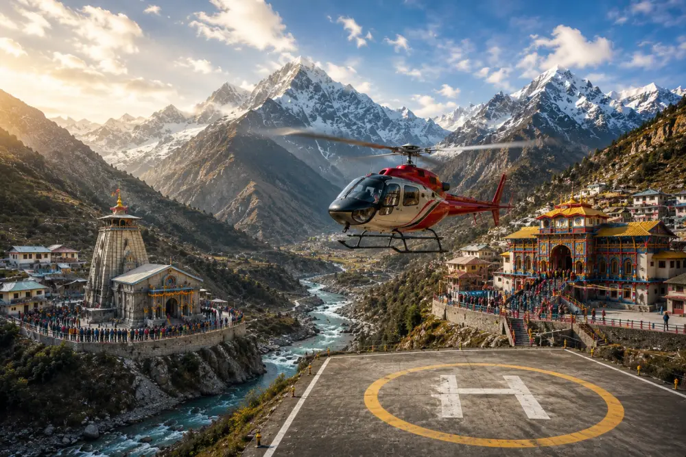
Helicopter Charter |
Air Route |
50 to 60 minutes |
₹70,000 to ₹90,000 per person (round-trip) |
|
Rishikesh Railway Station |
Bus / Shared Taxi |
294 km |
10 to 11 hours |
Economical public transport; daily departures |
|
Haridwar Transit Hub |
National Highway Bus |
320 km |
10 to 12 hours |
Direct NH-58 state transport buses |
|
Joshimath Baseline Town |
Mountain Cab |
45 km |
1.5 to 2 hours |
Primary base for road travel to Badrinath |
Seasonal Operational Windows
- The Charan Paduka trail is open only during the warmer months, typically from late April or early May until early November.
- During the winter season (late November to mid-April), heavy snowfall covers Narayan Parvat, burying the trail and making the route inaccessible.
- The best times to visit are from May to June and from September to October, when the weather is stable, the skies are clear, and the trail is safe for climbing.
- The monsoon months of July and August present significant safety hazards, as heavy rains can cause dangerous landslides along the NH-58 highway and make the stone stairs of Narayan Parvat slick and slippery.
High-Altitude Health Precautions
Because the trail to Charan Paduka climbs to 11,089 feet (3,380 meters), hikers are at risk of Acute Mountain Sickness (AMS). Symptoms of altitude sickness include headaches, dizziness, nausea, and shortness of breath.
To minimize these risks, travelers should follow several basic safety guidelines :
- Acclimatization: It is advisable to spend at least 24 hours in Badrinath town (10,279 feet) to adjust to the thinner air before attempting the steep climb to Charan Paduka.
- Medical Preparation: Hikers should carry standard high-altitude medications, such as acetazolamide (Diamox), along with basic remedies for coughs and travel sickness. Portable oxygen canisters are widely available in Badrinath shops and can provide quick relief if respiratory issues arise.
- Trail Supplies: Because there are no shops or facilities along the mountain trail, hikers must carry their own water bottles and energy-rich snacks.
- Time Management: Climbs should be started early in the morning, typically between 5:00 AM and 7:00 AM. This avoids the heat of the midday sun and ensures hikers can return before sunset, as trekking on the unlit slopes of Narayan Parvat after dark is highly discouraged.
Synthesis
The Charan Paduka of Badrinath stands as a unique monument within the sacred landscape of the Garhwal Himalayas. While the main Badrinarayan Temple serves as the center of daily worship, Charan Paduka offers a more personal, quiet experience that connects physical effort with spiritual reflection.
The steep climb up Narayan Parvat serves as a transition from the busy town below to a higher, quieter space. The boulder itself, with its ancient foot impressions, links geological history with the stories of the Bhagavata Purana and the journeys of Uddhava.
Furthermore, the trail's role as a gateway to high-altitude exploration and its connection to nearby sites like the Urvashi Temple and Ekadashi Gufa demonstrate how closely nature, history, and spiritual traditions are woven together in the Badrinath basin.
For the modern traveler, researcher, or pilgrim, visiting Charan Paduka offers a challenging and rewarding journey into the heart of India's mountain heritage.
Keep Reading
View All Articles-
Legend & Pilgrimage of the Amarnath Cave
Tucked away at the far end of the Lidder valley in the Greater Himalayas, the Amarnath Cave
-
No Fear Is Visible to Faith at Yamunotri
Despite the long, exhausting journey, the fear of being struck by wooden sticks protruding from palakis (palanquins)
-
Shrikhand Mahadev Kailash Yatra
हिमाचल प्रदेश के कुल्लू जिले की गगनचुंबी हिमालयी श्रृंखलाओं में स्थित श्रीखंड महादेव कैलाश यात्रा न केवल भारत के सबसे कठिन पर्वतारोहण मार्गों में से एक है, बल्कि यह सनातन धर्म की गहरी आध्यात्मिक चेतना का जीवंत प्रतीक भी है ।