
Smart Itinerary
Harsil Valley : Places to visit
The Harsil Valley, positioned in the Uttarkashi district of Uttarakhand, India, is a critical alpine corridor in the Garhwal Himalayas.
 By Spiritual Yatra
12 min read
By Spiritual Yatra
12 min read

Sustainable Tourism and Regional Ecotourism Destination : Harsil Valley
Geographic, Historical, and Socio-Economic Context of the Harsil Valley
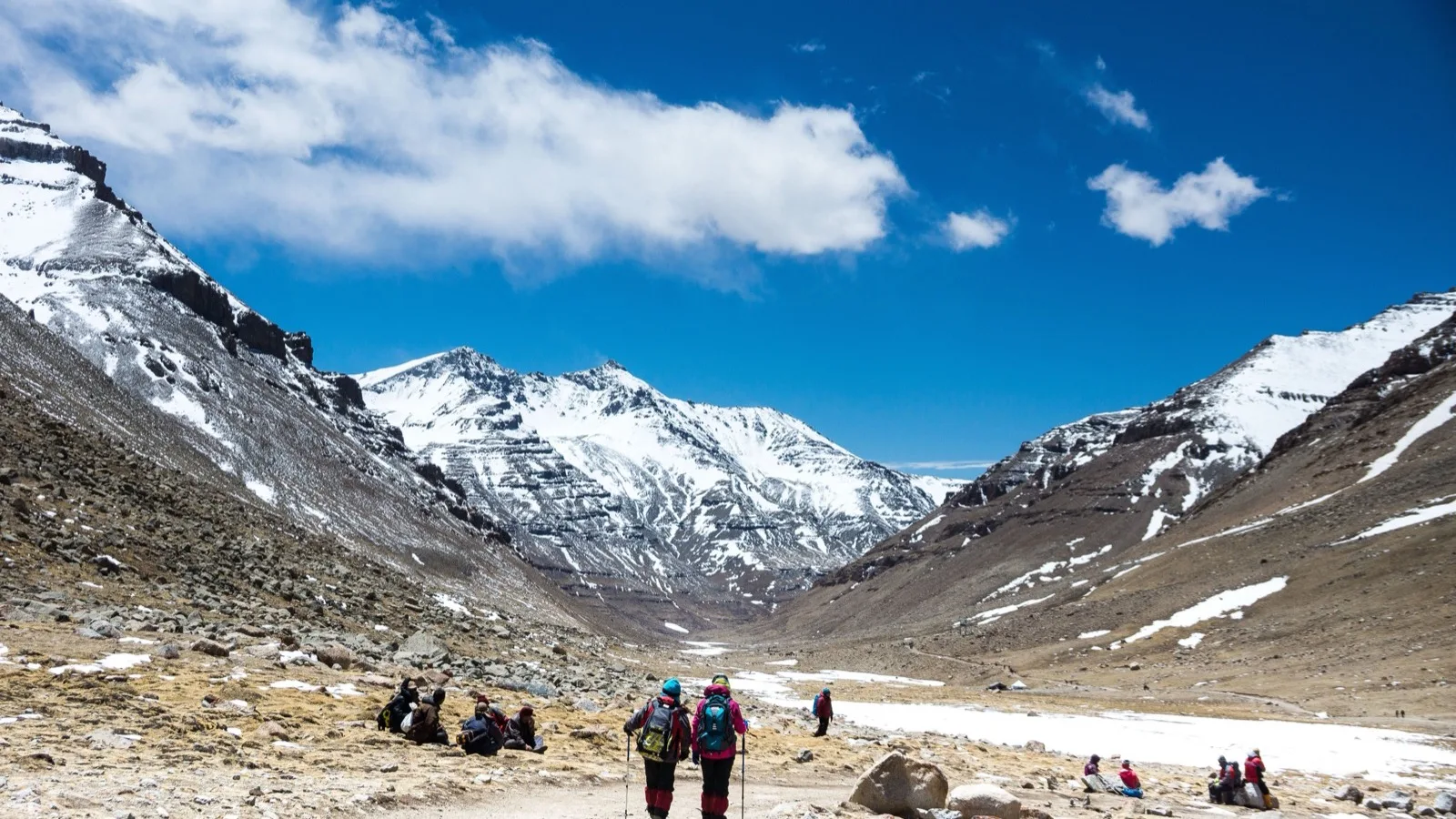
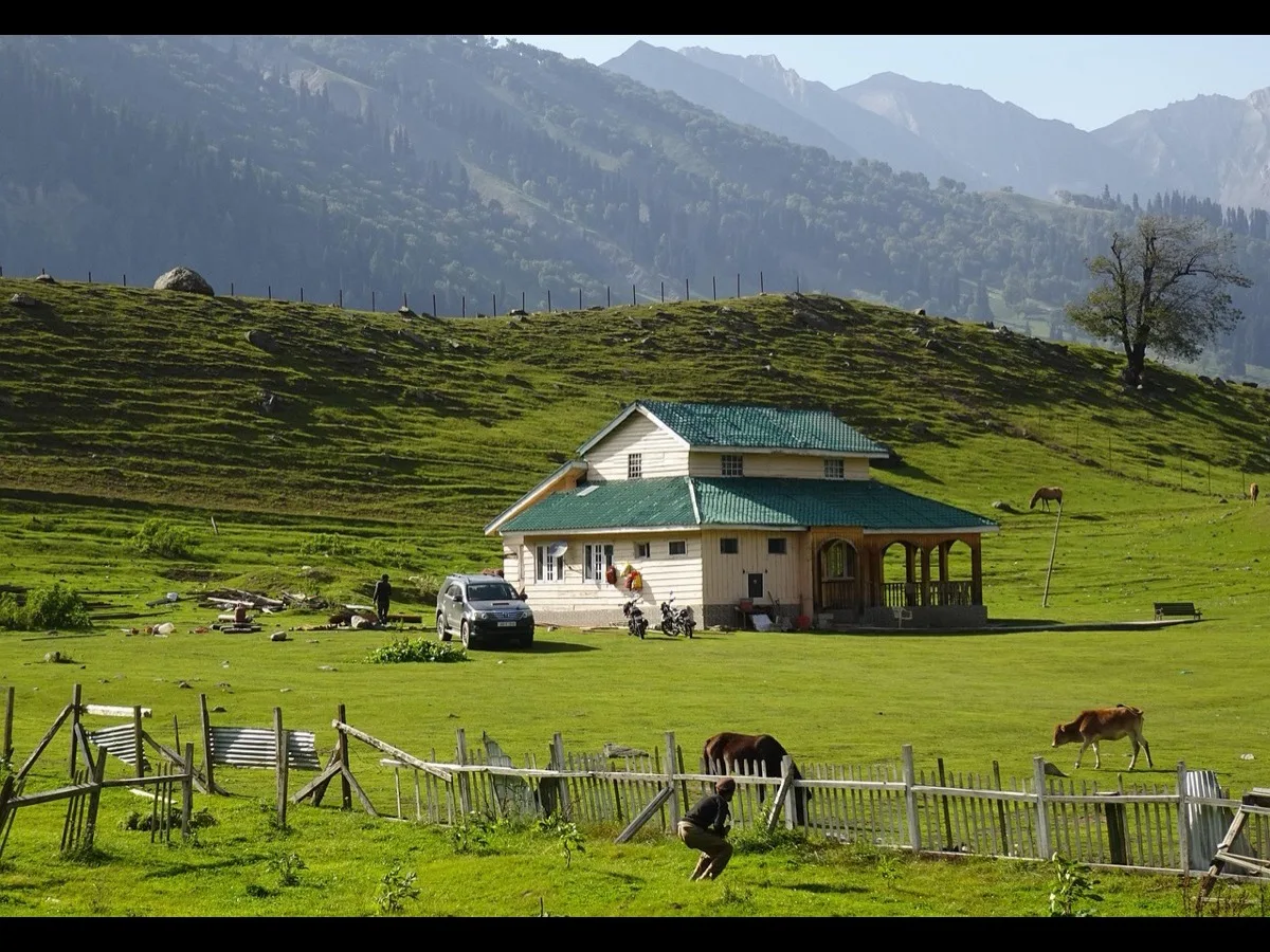
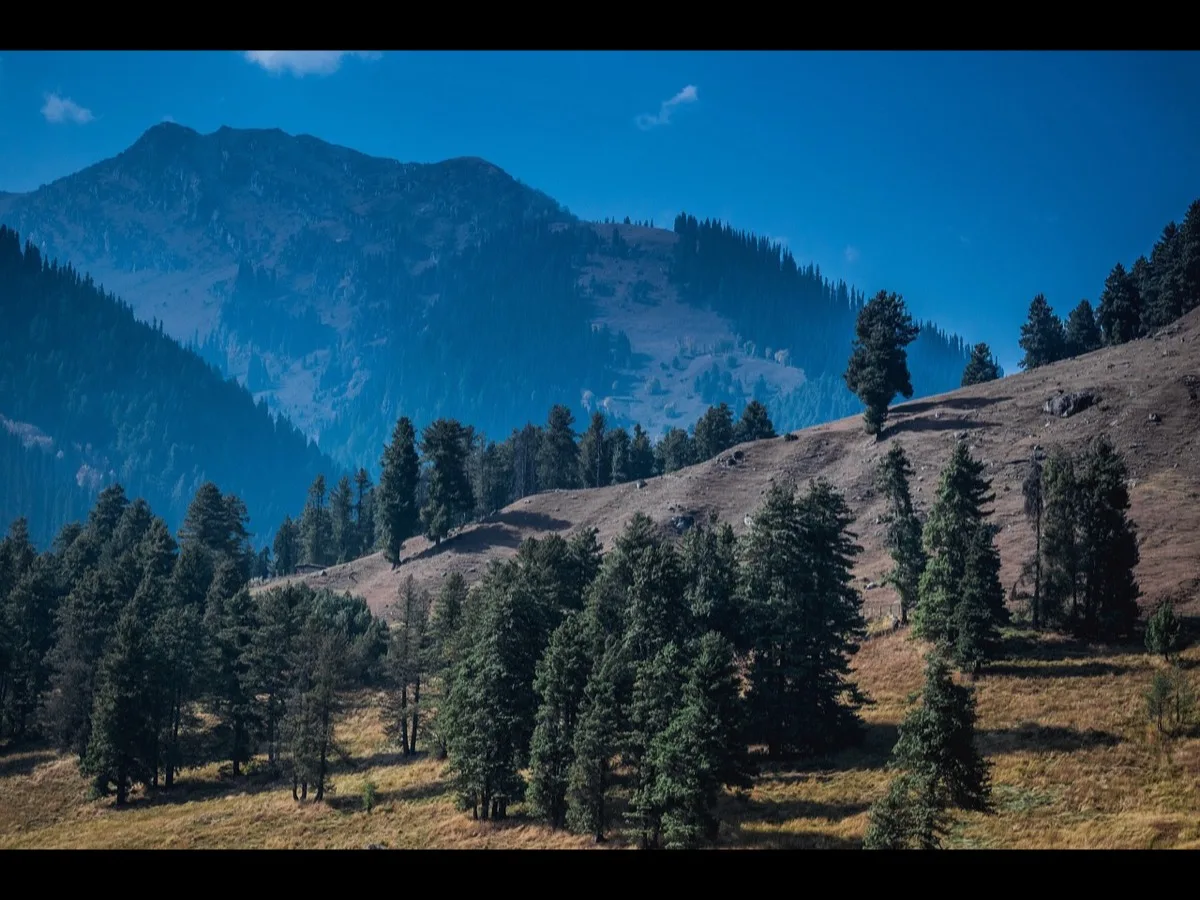
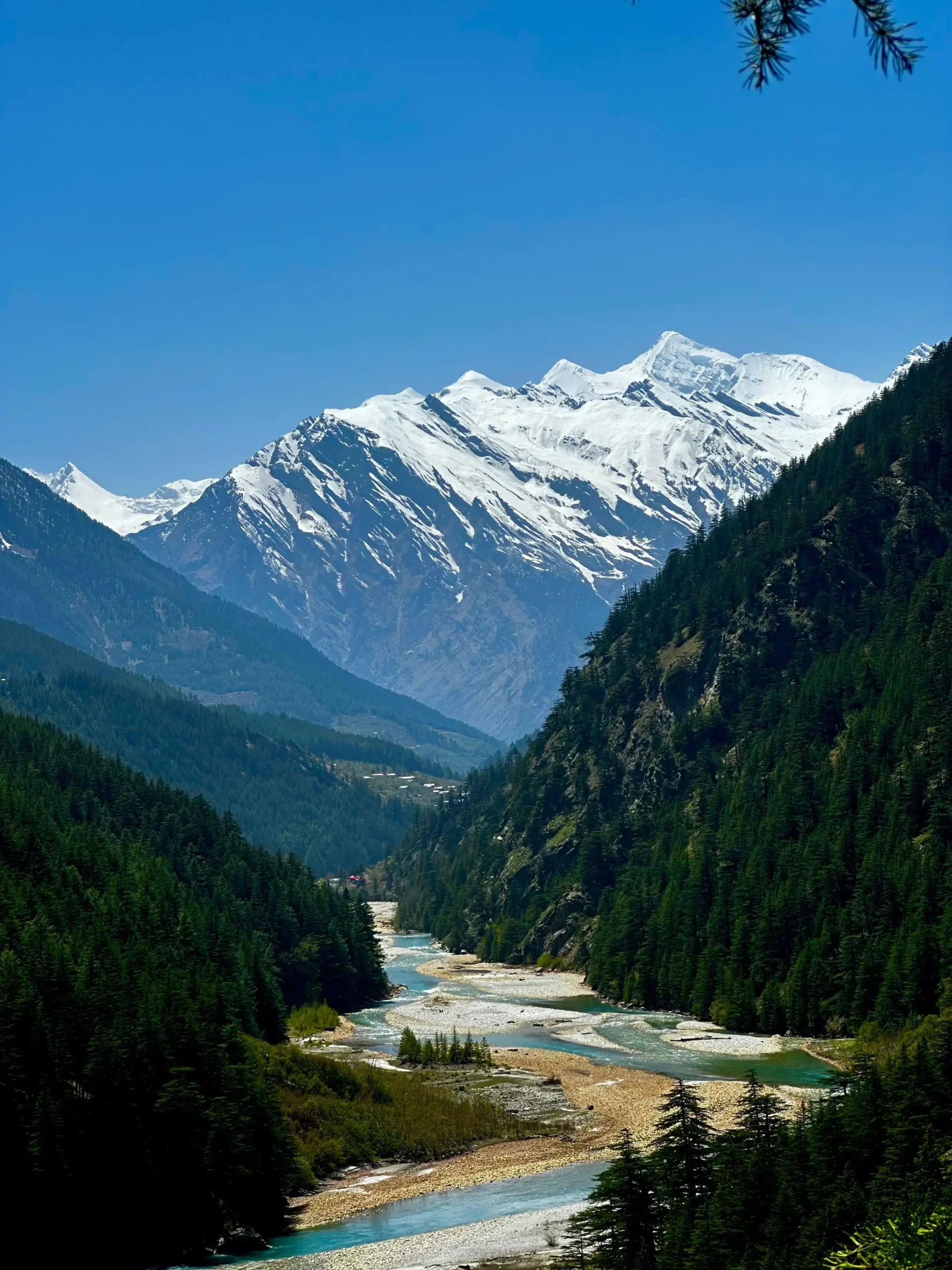
The Harsil Valley, positioned in the Uttarkashi district of Uttarakhand, India, is a critical alpine corridor in the Garhwal Himalayas. Elevated at an average baseline altitude of 2620 meters (8595 feet ) above sea level, the valley is located along the banks of the sacred Bhagirathi River, a primary headwater of the Ganges. This high-altitude basin is geophysically characterized by its location in a deep glacial valley lined with dense coniferous forests of deodar cedar (Cedrus deodara) and blue pine (Pinus wallichiana), receiving abundant sunlight due to the valley's east-west orientation. The regional hydrology is dominated by the confluence of the Bhagirathi and Jalandhari rivers, which drain the surrounding high-altitude glaciers and shape the fertile river terrace landscapes.
Historically, the socio-economic structure of the Harsil Valley underwent a major transformation during the nineteenth century due to the influence of Frederick E. Wilson, a British settler who introduced commercial horticulture by planting the first apple orchards in Harsil and the neighboring village of Dharali. This intervention transformed the regional economy from subsistence pastoralism to specialized apple cultivation. Today, Harsil apples are celebrated across the nation, and their seasonal harvesting underpins the regional economy, highlighted by the annual Harsil Apple Festival. The cultural geography of the valley is further enriched by its indigenous tribal populations, particularly the Jadh Bhotiyas, whose traditional wooden houses featuring Koti Banal architecture reflect centuries of adaptation to seismic activity and extreme winters. Harsil also maintains a unique place in Indian cinematic history, as the preservation of its mid-twentieth-century wooden post office remains a tourist landmark, tracing back to its use as a set for legendary filmmaker Raj Kapoor in the 1980s.
| Socio-Economic and Geographic Indicator | Specification and Analytical Details |
| Geographic Location |
Latitude 31.04 N, Longitude 78.74 E |
| Average Baseline Elevation |
2620 meters (8595 feet) above sea level |
| Primary Hydrological Systems |
Confluence of Bhagirathi and Jalandhari River basins |
| Forest Ecology Type |
Montane wet temperate forest dominated by Cedrus deodara and Pinus wallichiana |
| Indigenous Demographics |
Garhwali communities and Jadh Bhotiya tribal lineages |
| Economic Drivers |
Apple horticulture, religious pilgrimage transit, and adventure ecotourism |
Detailed Ecotourism Resource Assessment of the Seven Primary Destinations
Gartang Gali: Architectural Heritage and Frontier Trade History
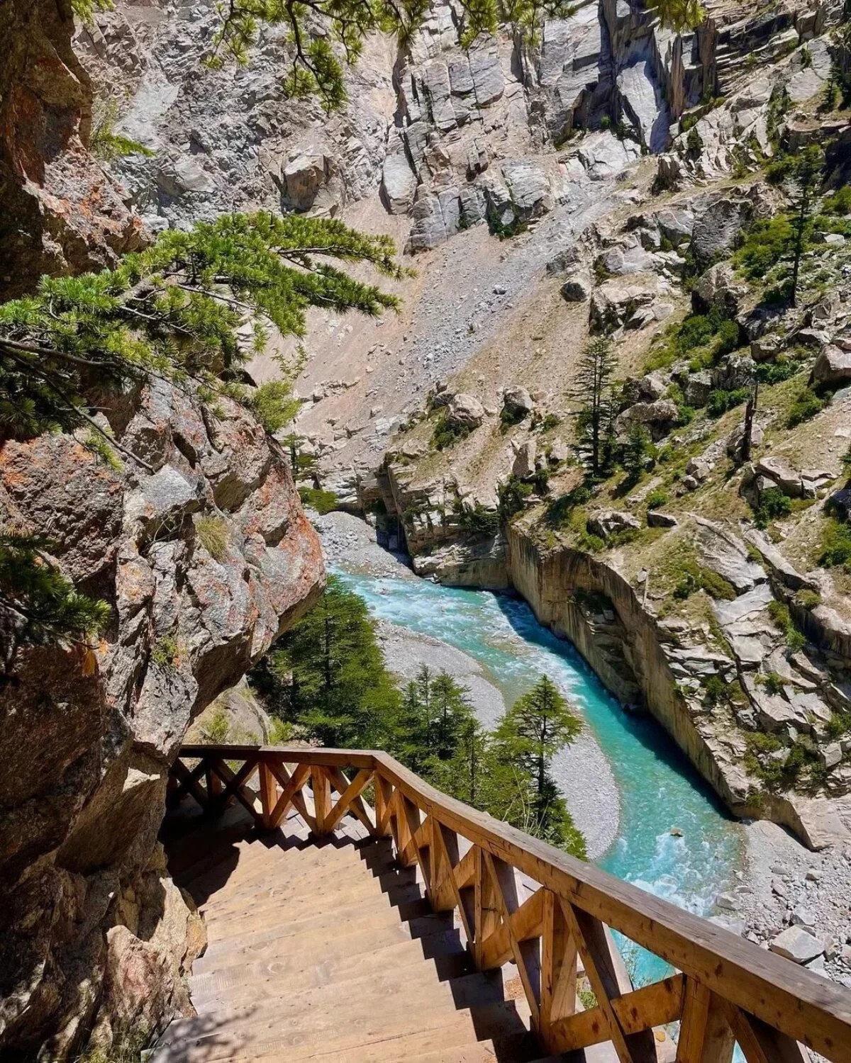
Gartang Gali represents one of the most remarkable examples of traditional frontier engineering in the Himalayan region. This 136 meter-long, 1.8 meter-wide wooden skywalk is carved into a vertical granite cliff face at an altitude of approximately 3352 meters (11000 feet), hanging directly over the deep gorge of the Jadh Ganga River. Engineered over 150 years ago by Pathan artisans from Peshawar, the bridge historically served as a vital trade conduit between India and Tibet, enabling Bhotiya nomads to transport salt, wool, and leather on yaks and mules. The historic route was also frequented by notable historical figures, including the Chinese explorer Hiuen Tsang in the seventh century, and was documented in Heinrich Harrer's book Seven Years in Tibet.
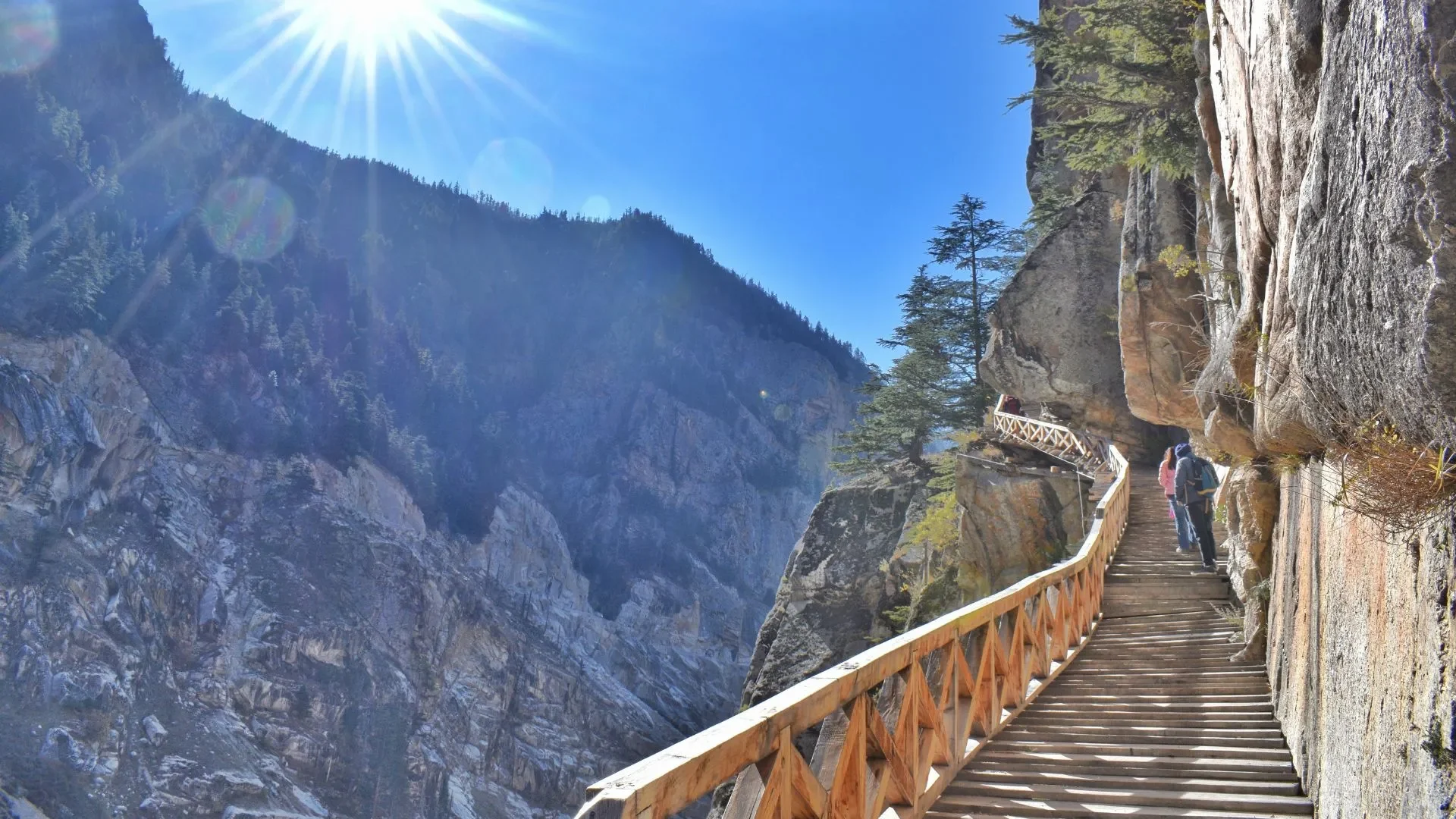
Following its closure in the wake of the 1962 Sino-Indian War, the bridge fell into severe disrepair. A meticulous restoration project using traditional materials and structural techniques led to its reopening in 2021, providing access to a unique historical and architectural site. The hike to Gartang Gali is a moderate 2.5 to 3 km uphill climb (totaling a 5 to 6 km round trip) starting from the Lanka Bridge checkpost, which lies 16 km north of Harsil on the highway to Gangotri. To maintain structural integrity and visitor safety, the forest department enforces a strict carrying capacity protocol on the wooden walkway: only 10 tourists are allowed on the bridge at any given time, and activities such as running, jumping, or carrying inflammable substances are prohibited.
Nelong Valley: High-Altitude Arid Ecotourism and Borderland Management
Often referred to as the "Ladakh of Uttarakhand," the Nelong Valley is a high-altitude cold desert located inside the Gangotri National Park at an elevation of approximately 3475 meters (11400 feet) to 3819 meters (12530 feet). The valley's rain-shadow topography creates an arid, rocky landscape featuring exposed scree slopes, glacial moraines, and high-altitude steppe vegetation that contrasts with the lush, forested basins of Harsil. Because of its strategic location near the international border, access to the Nelong Valley is subject to strict security protocols managed by the Sub-Divisional Magistrate (SDM) of Uttarkashi.
The administrative procedure requires domestic travelers to obtain an Inner Line Permit (ILP), which involves written applications to the District Magistrate, identity clearance from the Local Intelligence Unit (LIU) of the District Police, and structural permits from the State Forest Department. Foreign nationals are strictly prohibited from entering the valley. To mitigate ecological impacts and preserve military operational integrity, the carrying capacity of the valley is limited to a maximum of 24 visitors per day. Additionally, private two-wheelers are banned; visitors must transit via authorized four-wheel-drive sport utility vehicles (SUVs) or forest department vehicles starting from the Bhairav Ghati checkpost, returning before the strict evening checkpoint deadline at 5:00 PM.
Sattal Lake Complex: Lacustrine Hydrology and Sub-Alpine Avian Habitat
The Sattal trek represents an essential eco-trail that introduces hikers to a unique lacustrine ecosystem. Located in the hills above Dharali village, approximately 3 km from Harsil, Sattal (meaning "seven lakes") is a cluster of seven interconnected natural freshwater wetlands nestled in a dense deodar and pine forest at an elevation of approximately 3000 meters (9843 feet). The trail starts from Dharali and ascends steeply along a stone-paved path through apple orchards and temperate forests. The seven lakes Mirdunga Tal, Chadgiya Tal, Dawariya Tal, Bamniya Tal, Rikh Tal, Ghandoliya Tal, and Sankhghata Tal vary in size and seasonal volume, with some transforming into marshy wetlands during the dry season.
From an ecological perspective, this forested wetland complex is classified as part of an Important Bird Area (IBA). It is particularly significant as the only recorded breeding ground of the rare Ibisbill (Ibidorhyncha struthersii) in this section of the Garhwal Himalayas. The bird relies on the slow-flowing, shingly high-altitude streams and lake margins for sustenance, making the preservation of the Sattal watershed a conservation priority. Culturally, the base of this trail is associated with the historical Vishwanath Temple in Dharali and the ancient Kalp Kedar Temple, which was buried under mud and debris during the devastating landslide disaster of August 2025.
Lama Top: Orographic Viewpoints and Acclimatization Trails
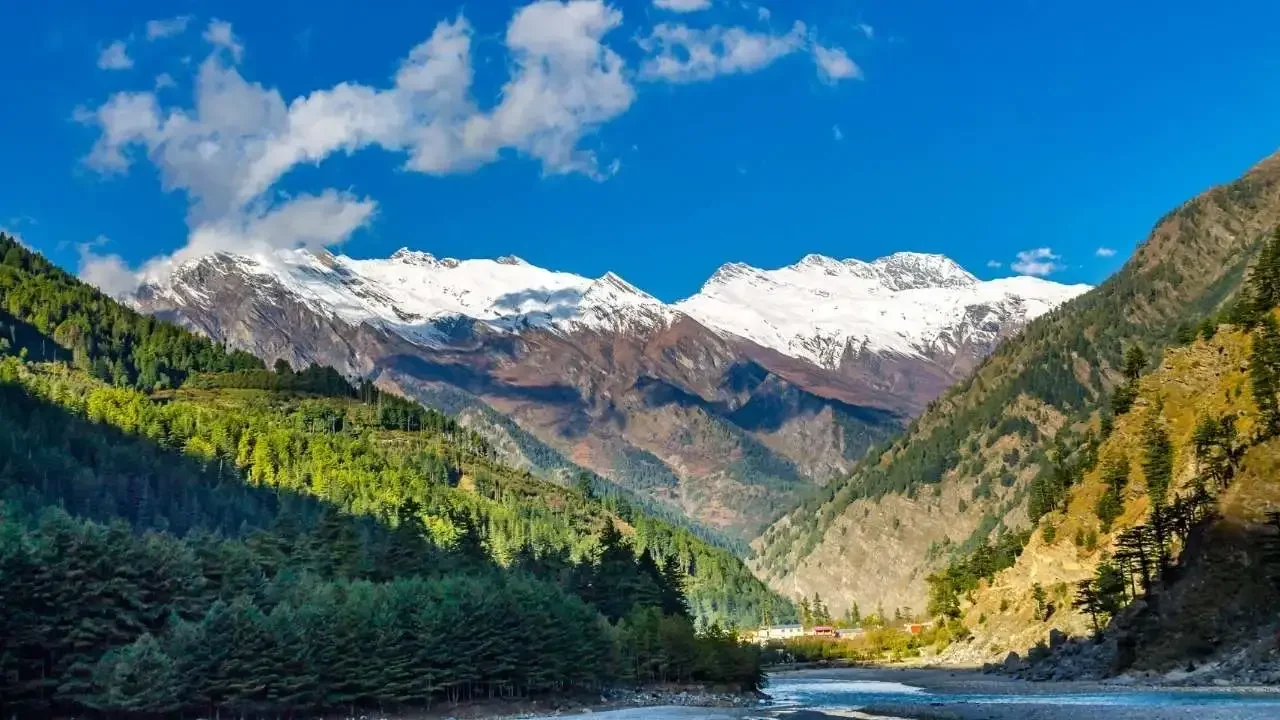
Lama Top is a panoramic viewpoint and the highest immediate ridge overlooking the Harsil Valley, situated at an altitude of approximately 2900 to 3000 meters (9843 feet). The viewpoint is accessible via a short but steep 2 km ascent starting from Bagori village, or a slightly longer 5.7 km trail from Harsil town. The trail rises sharply through dense coniferous forest canopy, with the route marked by colorful Tibetan prayer flags placed by the Jadh Bhotiya residents of Bagori.
The ascent features a steep initial gradient that tests the climber's cardiovascular endurance before leveling off onto an open, grassy ridge. Lama Top is highly regarded as a day-hiking destination because it provides clear, unobstructed 360-degree views of the entire Harsil Valley, the meandering Bhagirathi River below, and the prominent twin peaks known as the "Horns of Harsil" alongside Mt. Srikanth. The site requires no entry permits, making it an accessible, high-yield acclimatization hike for travelers preparing for longer high-altitude expeditions.
Jhindu Bugyal: Pastoralist Grasslands and Basecamp Logistics
Jhindu Bugyal (frequently documented as Jhinda Bugyal) is a pristine, lesser-known alpine meadow situated on the slopes of the Mt. Srikanth 6133 m massif. Accessible via a gradual, winding trail starting from Dharali village, the trek to Jhindu Bugyal covers approximately 7 km through dense stands of pine, cedar, and birch (Betula utilis) before opening into a vast, undulating sub-alpine grassland at an altitude of approximately 3354 meters (11000 feet). Jhindu Bugyal acts as a critical sub-alpine transition zone and serves as the primary base camping site for mountaineering expeditions attempting Mt. Srikanth.
During the monsoon and post-monsoon months of July and August, the meadow exhibits high floral diversity, characterized by the blooming of numerous alpine wildflower species, including the highly revered and endangered Brahma Kamal (Saussurea obvallata). The trek provides panoramic vistas of the surrounding peaks and serves as an important grazing ground for migratory pastoralists (Gujjars and Gaddi shepherds) during the summer months. It is technically distinct from the separate Jhinda Bugyal located in Chamoli's Urgam Valley, which sits at 11800 ft.
Kyarkoti Basin Trek: Glacial Moraine Geomorphology and Alpine Corridors
The Kyarkoti Trek represents a premier wilderness expedition in the Harsil region, leading to a pristine high-altitude glacial basin. Reaching an elevation of approximately 3820 meters (12530 feet) at Kyarkoti Lake (Kyarkoti Tal), this trek covers a round-trip distance of 30 to 35 km starting from Harsil or Jhalla village. The trail follows the Jalandhari River valley, tracing a traditional shepherd route that ascends gradually through a sequence of distinct ecological zones. The journey typically spans 5 to 7 days, allowing for progressive altitude adaptation.
The first phase of the trek involves an 8 km march through dense deodar and pine forests to the Lower Kyarkoti Camp 3000 m. The second phase climbs 7 km along a rugged path, crossing glacial streams and alpine meadows to reach the Upper Kyarkoti Camp 3480 m. The final destination, Kyarkoti, is a vast, boulder-strewn glacial meadow containing the emerald-green waters of the Kyarkoti Lake, framed by the towering, ice-clad peaks of Mt. Srikanth and various unnamed Himalayan giants. Crucially, the Kyarkoti trail also aligns with the lower sections of the historic Lamkhaga Pass trek 5282 m, a challenging, highly technical mountaineering route that traverses glaciers and steep ridges to connect the Bhagirathi Valley of Uttarakhand with the Baspa Valley in Kinnaur, Himachal Pradesh.
Gangotri Temple Sanctuary: Sacred Hydrology and Pilgrimage Infrastructure
The primary sacred anchor of the region is the Gangotri Temple, situated 25 km upstream from Harsil at an elevation of 3100 meters (10170 feet). The temple, originally constructed of white granite by the Gurkha commander Amar Singh Thapa in the early nineteenth century, is situated in a high-alpine valley surrounded by the snow-capped peaks of the Gangotri massif. The seasonal hydrology of the region dictates the temple's accessibility: the shrine opens on the auspicious day of Akshaya Tritiya (usually late April or early May) and closes on Diwali (October or November) as winter snow renders the area uninhabitable.
During the summer operational window, the highway between Harsil and Gangotri experiences heavy pilgrim traffic. The physical environment of the Gangotri shrine is defined by dramatic riverine features, such as Surya Kund and Gauri Kund. At Surya Kund, the Bhagirathi River plunges through a deep, narrow granite gap, creating a thunderous waterfall that is worshipped as a manifestation of divine energy and serves as a key site for ritual bathing and photography. It also serves as the trailhead for the Gaumukh-Tapovan glacier trek.
Comparative Analysis and Logistics Framework
The integration of these seven key destinations into a cohesive regional tourism circuit requires a comprehensive understanding of their structural, logistical, and safety parameters. High-altitude tourism introduces inherent geomorphological and physiological risks, specifically acute mountain sickness (AMS) and sudden meteorological changes, which necessitate robust planning for both professional guides and independent travelers.
| Destination Name | Base Altitude | Maximum Altitude | Trekking Distance (Round-Trip) | Difficulty Rating | Required Permits & Entry Fees |
| Gartang Gali |
2620 m |
3352 m (11,000ft) |
5 to 6 km |
Easy to Moderate |
Forest Entry Permit (200 INR) |
| Sattal Lake |
2963 m |
3000 m (9843 ft) |
5 km |
Easy |
Single Window System Permit (123.07 INR) |
| Jhindu Bugyal |
2963 m |
3354 m (11000 ft) |
14 km |
Moderate |
Forest Department Permission (Variable) |
| Lama Top |
2620 m |
2900 m (9514 ft) |
4 to 6 km |
Easy to Moderate |
None (Open Forest Area) |
| Kyarkoti Trek |
2620 m |
3820 m (12530ft) |
30 to 35 km |
Moderate to Challenging |
Forest Camping & Trail Permits (Included in packages) |
| Gangotri Temple |
2620 m |
3100 m (10170 ft ) |
Motorway Access |
Very Easy (Road Access) |
Biometric Yatra Registration (Free) |
| Nelong Valley |
2620 m
|
3819 m (12530 ft) |
Restricted Motorway |
Easy (Vehicle Bound) |
Multi-agency ILP; National Park Fee (150 INR/person + 250 INR/vehicle) |
Infrastructure, Accessibility, and Travel Logistics
The regional transit infrastructure connecting major plains stations to the high-altitude Harsil Valley has improved, yet it remains subject to mountain road vulnerabilities. The nearest air and rail terminals are located in the plains of Uttarakhand, requiring a long journey through winding river valleys.
Transit Infrastructure to Harsil Base Camp
| Origin Point | Destination | Road Distance | Approximate Travel Time | Primary Transit Route |
| Jolly Grant Airport, Dehradun | Harsil Valley |
232 to 244 km |
8 to 10 hours |
NH-34 via Mussoorie, Chinyalisaur, and Uttarkashi |
| Rishikesh Railway Station | Harsil Valley |
215 to 243 km |
8 to 9 hours |
NH-34 following the Bhagirathi River corridor |
| Haridwar Junction | Harsil Valley |
260 to 285 km |
8 to 9 hours |
NH-34 via Tehri Lake and Uttarkashi bypass |
| New Delhi | Harsil Valley |
450 to 480 km |
12 to14 hours |
NH-58 to Roorkee, onward to Rishikesh and NH-34 |
The Nelong Valley Inner Line Permit (ILP) Process
Due to the complex geopolitical status of the borderlands, travelers seeking to visit the Nelong Valley must complete a rigorous, multi-step permit application process in Uttarkashi before traveling uphill to Harsil:
- Application Preparation: The traveler must write a formal request in Hindi or English addressed to the District Magistrate (DM) or Sub-Divisional Magistrate (SDM) of Uttarkashi. The document must detail the names of all participants, official identification numbers, vehicle registration details, and the driver's commercial license credentials.
- District Collectorate Submission: This application, accompanied by two sets of photocopied government-issued identification cards (such as Aadhaar, Voter ID, or Passport), is submitted to the District Collectorate Office in Uttarkashi. The office reviews the materials and issues an administrative signed recommendation letter.
- Forest Office Clearance: The endorsed application must then be taken to the Forest Department Office in Kotbangla to secure clearance for transiting through the restricted core zone of the Gangotri National Park.
- Local Intelligence Unit (LIU) Verification: The applicant must next present the signed documents to the Local Intelligence Unit (LIU) located at the District Police Station (Kotwali) behind the Vishwanath Temple. Security personnel conduct physical and document verification, record ID details, and issue an official intelligence clearance.
- Final Permit Generation: The fully endorsed set of applications is returned to the PA of the District Magistrate or SDM. Upon final administrative review, a signed physical permit is generated. This permit must be presented alongside original identification documents at the Bhairav Ghati checkpost, where the mandatory national park fees are paid.
Environmental Vulnerabilities, Carrying Capacity, and Sustainable Policy Frameworks
The geomorphological stability of the Harsil Valley exists in a delicate state of equilibrium, highly vulnerable to extreme weather events and climate-induced disruptions. The region's active tectonic setting and steep river valleys make it prone to flash floods, cloudbursts, and mass wasting. The catastrophic landslide of August 2025, which destroyed much of the historical settlement of Dharali and buried the Kalp Kedar Temple, serves as a stark reminder of these natural hazards and underscores the need for sustainable development policies.
As the regional carrying capacity is stretched during the peak pilgrimage and trekking seasons, regional planning must prioritize environmental conservation alongside infrastructure expansion.
| Key Ecological Stressor | Specific Regional Impact | Mitigation Strategy and Policy Recommendation |
| Geomorphological Landslides |
High-altitude slope failure; destruction of heritage sites like Kalp Kedar |
Implement strict hazard-zonation mapping and enforce building bans on active floodplains |
| Solid Waste Accumulation |
Environmental contamination in alpine meadows and watercourses |
Establish a zero-plastic border policy and implement community-led waste-recovery systems |
| Habitat Fragmentation |
Disturbance to high-altitude wildlife and avian nesting zones |
Limit the scale of sub-alpine campsites and enforce seasonal trail closures |
| Economic Seasonality |
Short-term tourism spikes leading to regional economic vulnerability |
Promote year-round sustainable homestays and develop skilled winter tourism guides |
By leveraging the guidelines of Uttarkashi's District Skill Development Plan, local communities can transition toward high-value, low-impact sustainable ecotourism. Training programs focusing on mountain search and rescue, flora-fauna identification, and eco-homestay management will help diversify local livelihoods.
Crucially, integrating regulated borderland access with strict ecological monitoring can protect the delicate Himalayan landscapes of the Harsil Valley while supporting the resilience of its native populations.
Keep Reading
View All Articles-
Complete Guide to Muktinath (Muktikshetra): The Ultimate Pilgrimage in Nepal
Muktinath, known traditionally as Muktikshetra (the site for salvation), stands as one of the most spiritually profound, historically rich, and visually breathtaking pilgrimage destinations in the world.
-
Kailash-Manasarovar: The Nepal Route
Axis Mundi: Spine of the Universe, The Ultimate Guide to Kailash Manasarovar Yatra via Nepal: Itinerary, Safety, Sacred Geography, and Preparation
-
Guide for the Gangotri to Gaumukh Alpine Route (2026 Season)
The high-altitude corridor connecting the holy town of Gangotri to the glacial snout at Gaumukh