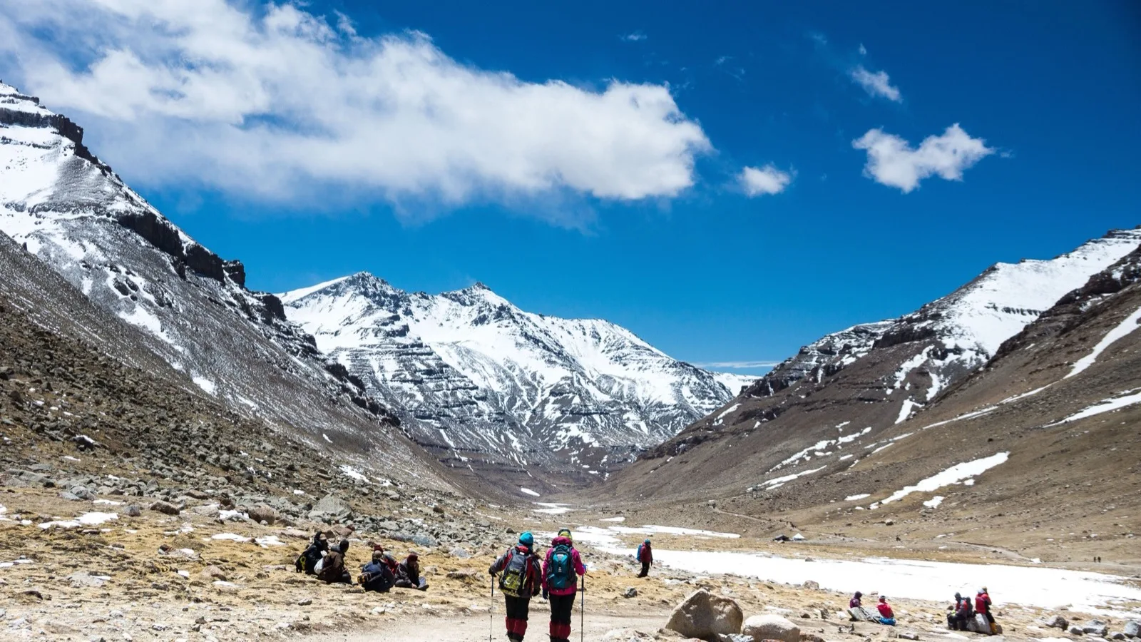
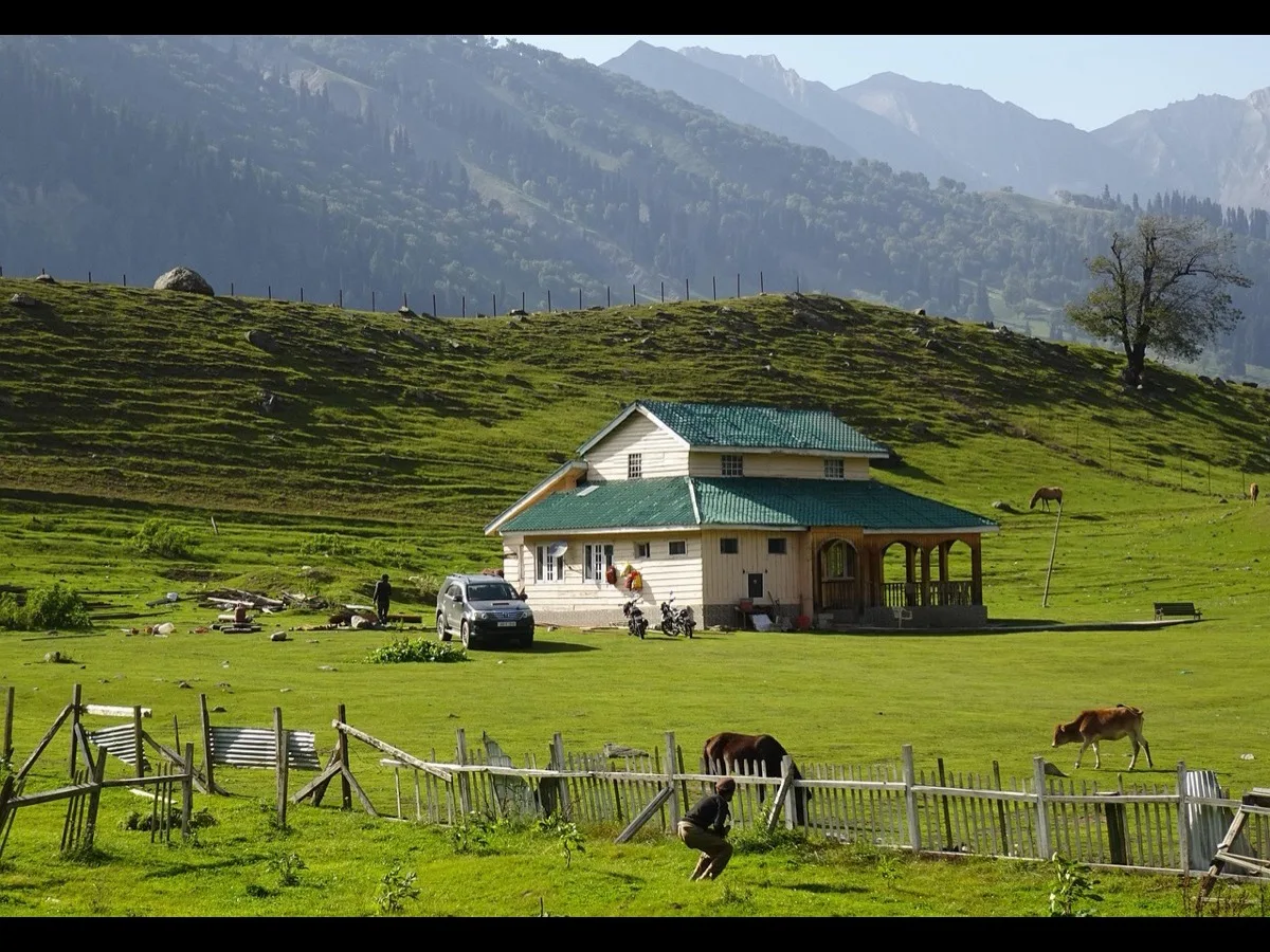
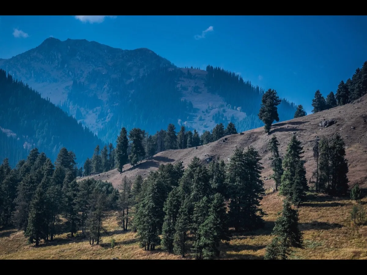

Smart Itinerary
Shi Yomi : Guide to Mechuka
Situated in the remote northern tier of the eastern Himalayas, the high-altitude valley of Mechuka—frequently rendered as Menchukha or Mechukha
 By Raj K. Vashyan
18 min read
By Raj K. Vashyan
18 min read

The Secluded Gateway of Shi Yomi: An In-Depth Travel and Ethnographic Guide to Mechuka
Geopolitical, Historical, and Geographical Setting
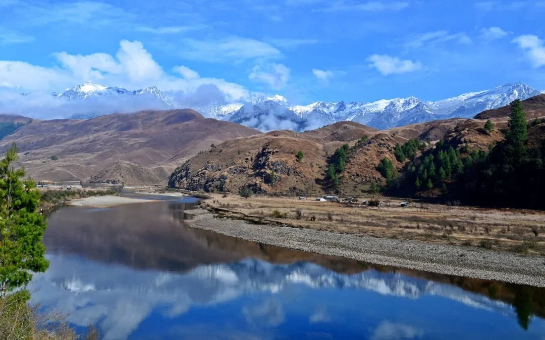
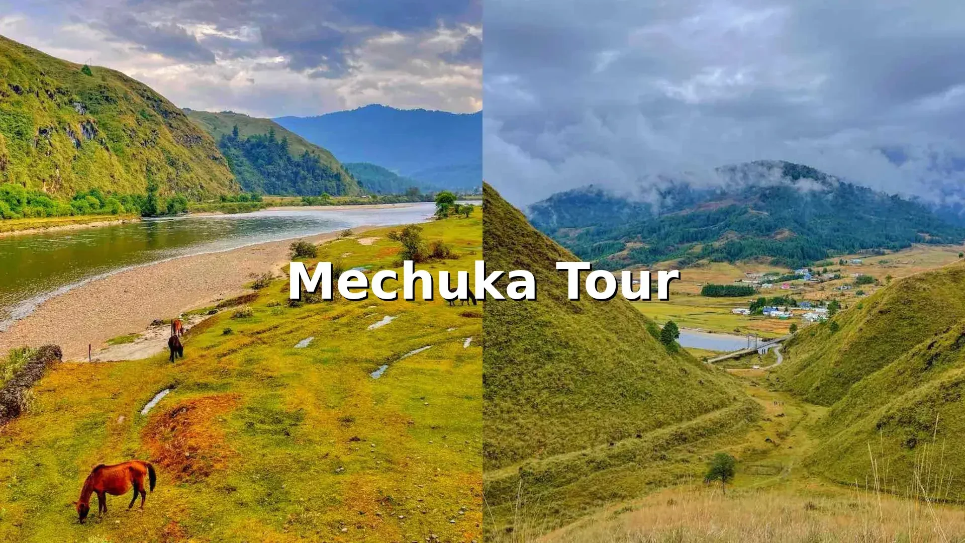
Situated in the remote northern tier of the eastern Himalayas, the high-altitude valley of Mechuka frequently rendered as Menchukha or Mechukha lies within the newly constituted Shi Yomi district of Arunachal Pradesh. Located at an elevation of approximately 6,000 ft (1,829 m) above sea level, the valley is positioned a mere 29 km to 30 km south of the McMahon Line, which defines the international frontier between India and the Tibet Autonomous Region of China. Surrounded by steep mountain ridges and snow-dusted peaks, the physical geography of Mechuka is characterized by a broad, glaciated U-shaped valley floor an uncommon geomorphological feature in the otherwise narrow, V-shaped gorges of the Arunachal frontier.
The lifeblood of this valley is the Yargyap Chu River, locally known as the Siyom River, which flows across the landscape in a brilliant turquoise ribbon. The water's surreal, neon-blue clarity is attributed to high concentrations of minerals suspended in glacial meltwater from the upper Himalayan reaches.
The name "Mechuka" itself is a linguistic artifact of the native Memba tongue, reflecting both ecological and spiritual dimensions. In one translation, the name represents the physical landscape: "Me" translates to valley and "Chuka" to the river traversing it. In a more culturally and medicinally significant interpretation, the name is parsed as "Men" (medicine), "Chu" (water), and "Kha" (snow or ice). Collectively, it denotes the "medicinal water of snow," referencing the local belief in the therapeutic and healing properties of the region's pristine glacial streams.
Historical records indicate that prior to the 12th century, the Mechuka settlement did not exist in its current form. According to native oral histories, the location was discovered by Tibetan monks and knowledgeable pilgrims traveling south across the high mountain passes. The original name of the settlement was "Nehnang," where "Neh" signifies a pilgrim site and "Nang" refers to those who reside within the sacred space.
Over the centuries, Mechuka evolved into a critical trading post along the trans-Himalayan trade routes, linking the markets of Assam and Tibet. This geographic isolation was breached during the Sino-Indian War of 1962, during which the valley served as a strategic military outpost. The historical remnants of this conflict, including the 1962 war point in Mengang village and the Advanced Landing Ground (ALG) airstrip, remain prominent features of the local landscape, highlighting Mechuka's enduring strategic significance near the Line of Actual Control (LAC).
Climatology and Seasonal Dynamics
The sub-alpine climate of Mechuka is characterized by mild summers, crisp autumns, and freezing winters, with heavy precipitation defining the monsoon months. Because of its unique topography, the valley remains accessible without the severe, high-altitude acclimatization challenges typical of other Himalayan tourist destinations like Leh or Ladakh, making it a viable option for first-time mountain travelers. However, seasonal transitions dramatically alter road safety, visibility, and the general availability of tourism infrastructure.
| Season | Months | Temperature Range | Landscape Characteristics | Travel Recommendations and Activities |
|---|---|---|---|---|
|
Spring / Summer |
March to June |
10∘C to 22∘C |
Lush green meadows, blooming rhododendron orchards, clear rivers, and wildflowers. |
Highly recommended for trekking, photography, village walks, and seasonal river rafting. |
|
Autumn |
September to November |
5∘C to 17∘C |
Golden forest canopies, clear mountain views, dramatic cloud formations, and snow-dusted peaks. |
The ideal window for professional photography, cultural festivals, and high-altitude trekking. |
|
Winter |
December to February |
−5∘C to 8∘C |
Snow-covered valley floors, frozen river sections, and striking monastery silhouettes. |
Recommended for solitude seekers and snow photography, though road blockages are common. |
|
Monsoon |
June to September |
15∘C to 25∘C |
Torrential rainfall, dense fog, active waterfalls, and swollen river systems. |
Not recommended due to frequent landslides, treacherous mud slush, and road closures. |
The human landscape of Mechuka is defined by a distinct socio-cultural convergence of indigenous tribes, primarily the Memba and various subgroups of the Adi people, alongside minority Tagin populations. Each group maintains a distinct language, religious system, and material culture, turning the valley into a living museum of eastern Himalayan ethnography.
The Memba Tribe
The Memba represent the largest and most prominent community within the Mechuka valley floor. Adherents of the Nyingma sect of Tibetan Buddhism, their spiritual and cultural lives are closely tied to the ancient monastic institutions of the valley. Historically, the Membas were highly skilled merchants engaged in trans-Himalayan commerce, using traditional weighing scales and horse-driven caravans to exchange regional woolens and agricultural goods for Tibetan salt and tea.
The Membas reside in scattered hamlets, constructing traditional wooden houses raised on stilts (Shengru roofs) to insulate interiors from the freezing mountain soil. Their homes typically feature an east-facing prayer room, known as a Chesham, where morning and evening prayers are offered by family elders or visiting lamas.
The women are highly skilled weavers, creating intricate woolen garments and hand-woven carpets called Khadem, although the latter represents a dying artistic tradition. The Memba are also known for making wheat-based noodles using a specialized wooden tool and a locally grown grain called Gyarb, which resembles ragi.
The Ramo Tribe
The Ramo maintain agricultural and pastoral traditions, primarily inhabiting the steeper slopes of the valley. Believed to have migrated from Tibet as a nomadic people, they follow Donyi Polo, an animistic belief system centered on the worship of the Sun (Donyi) and the Moon (Polo).
Their deep connection to nature is visible in their traditional attire, which is frequently decorated with symbolic solar and lunar motifs. Ramo jewelry is characterized by complex, hand-crafted beadwork that reflects their spiritual cosmos.
The Tani and Adi Subgroups
The outer villages of the Mechuka sub-division are home to the Bokar, Libo, and Tagin tribes, all of whom trace their lineage back to the mythical ancestor Abo Tani. While many Bokars and Libos have embraced Christianity in recent decades, their daily lives continue to be guided by traditional storytelling, ancestral laws, and natural medicine.
These tribes are highly skilled in construction, weaving bamboo, timber, and river stones into sturdy, weather-resistant structures. The preservation of their unwritten dialects is maintained through oral histories passed down by village elders, who serve as the custodians of tribal mythology.
| Tribe | Primary Religion | Traditional Architecture | Unique Material Arts | Core Economic Livelihood |
|---|---|---|---|---|
|
Memba |
Tibetan Buddhism (Nyingma) |
Stilted wooden houses with Shengru roofs |
Hand-woven woolens, Khadem carpets, wooden noodle presses |
Wet-rice agriculture, dry-millet cultivation, and tourism |
|
Ramo |
Donyi Polo (Animism) |
Bamboo and timber longhouses |
Complex beadwork, solar-moon textile iconography |
Pastoralism, shifting cultivation (Jhum), and hunting |
|
Bokar / Libo |
Christianity / Animism mix |
Bamboo, timber, and river-stone huts |
Bamboo basketry, weapon forging, cane tool-making |
Terraced farming, horticulture, and forest foraging |
Mechuka is a deeply sacred landscape where geological features are associated with spiritual narratives. The valley houses ancient Buddhist monasteries alongside historical Sikh landmarks, creating a unique syncretic pilgrimage corridor.
Samten Yongcha Monastery (The Old Gompa)
Perched atop a rugged hill on the western edge of the valley, approximately 14 km from the main town, stands the Samten Yongcha Monastery. Built in the 14th century, this double-storied wooden structure is older than the famous Tawang Monastery and has never been altered or destroyed, preserving its raw medieval energy.
The interior of the monastery is home to hand-molded clay statues decorated with organic pigments, ancient thangkas, and historical stone inscriptions. The central figure is a statue of Guru Padmasambhava, the founder of the Nyingma school.
For visitors, witnessing the morning prayers—which begin between 6:00 AM and 7:00 AM—offers an immersive experience, as the acoustics of the wooden hall amplify the deep chants of the lamas. Monks from the valley ascend to the hilltop temple during major festivals like Losar, while a single resident caretaker manages the grounds year-round.
Shri Gurudwara Sahib Tapo Asthan and Holy Cave
Maintained by the Indian Army along the banks of the Yargyap Chu, this religious site commemorates the visit of Guru Nanak Dev Ji during his third Udasi (1514–1518). Accompanied by his disciples Bhai Bala and Bhai Mardana, the Guru is said to have meditated under a large cliff.
According to local lore, when a wild bear attacked him, the boulder under which he was praying lifted him up and softened like warm wax to protect him, leaving an imprint of his turban in the stone.
Below the Gurudwara, a narrow cleft in the rock—known as the Bamchu crevice—leads to the riverbanks. It is believed that the rock split to allow the Guru passage to his daily bath.
Pilgrims test their spiritual purity by attempting to squeeze through this narrow 6-meter passage; local tradition holds that only those with a pure heart can pass through without getting stuck, regardless of physical size.
Nearby, a shallow pool contains the "Lucky Stones," where visitors close their eyes and retrieve a pebble to determine their path:
-
White Pebble: Signifies a pure heart and mind; wishes are believed to come true.
-
Mixed Pebble: Represents a balance of positive and negative influences.
-
Black Pebble: Symbolizes spiritual negativity or unfulfilled desires.
Neh Pema Shelpu (Pemashubu)
Located 13 km from Mechuka, Neh Pema Shelpu is a dense forested pilgrimage site recognized as the meditation retreat of the sixth rebirth of Guru Padmasambhava. The site is blessed with natural rock formations, including one resembling a tiger that is said to have attacked the Rinpoche during his meditation, leaving its imprint on the stone.
Every March (corresponding to the lunar month Dawa Dangbu Nyis Ngya), thousands of pilgrims gather here for a Tirth Yatra, hoisting religious flags and sharing a communal feast of local delicacies.
Traditional and Ecological Festivals
The seasonal calendar of Mechuka is punctuated by vibrant festivals that reflect the religious and agricultural traditions of its diverse communities. These festivals are authentic community gatherings rather than staged tourist events, offering visitors a window into the cultural life of the valley.
Sonam Losar (Memba New Year)
Celebrated over three days in February, Sonam Losar marks the Tibetan New Year and is the most significant cultural event for the Memba tribe. The term Sonam translates to good fortune, Lo to year, and Sar to new.
-
Day 1: Nangmay Losar: This day is spent within the domestic sphere. Families clean their homes, prepare traditional meals, and perform purification rituals to sweep away the misfortunes of the past year.
-
Day 2: Lamay Losar: The community gathers at the Gompa, where spiritual lamas offer blessings. Monks perform the Chham—a sacred masked dance depicting Buddhist legends and animal spirits using elaborate costumes and papier-mâché masks to expel evil influences. The afternoon features traditional sports, including archery, shot put, and discus throw.
-
Day 3: Drongba Losar: The festival concludes with the hoisting of colorful Buddhist prayer flags (Darchen) at homes and monasteries to promote peace and goodwill. The evening features community feasts and concerts highlighting local musical talents.
Podi-Barbi and Si-Donyi Festivals
-
Podi-Barbi (December 5): Celebrated by the Ramo, Bokar, and Pai Libo communities to mark the end of the harvest and the start of the hunting season. Led by a traditional priest (Nyubu), the community gathers for prayers, animal sacrifices, and the consumption of Opong (millet wine). Elders sing historical songs (Jaying and Bari), while the youth perform traditional dances.
-
Si-Donyi (January 6): Celebrated by the Tagin community to honor the Earth (Si) and the Sun (Donyi) as life-giving deities. The festival features chants, offerings, and colorful dances performed in traditional attire.
| Festival | Date / Month | Celebrated By | Primary Spiritual Motif | Core Public Spectacle |
|---|---|---|---|---|
|
Sonam Losar |
February |
Memba Tribe |
Tibetan Buddhist New Year & purification |
Chham masked dances, archery, prayer flag hoisting |
|
Podi-Barbi |
December 5 |
Ramo, Bokar, Pai Libo |
Harvest Thanksgiving & hunting prosperity |
Nyubu priest sacrifices, Opong drinking, Jaying songs |
|
Si-Donyi |
January 6 |
Tagin Tribe |
Veneration of Earth and Sun deities |
Traditional Tagin priestly chants, animal offerings |
|
Mopin |
April |
Adi Tribe |
Agricultural wealth & community bonding |
Folk dances, rice-flour smearing, community feasts |
|
Mechukha Trout Quest |
Late August |
Global Anglers & Locals |
River conservation & sustainable eco-tourism |
Competitive "catch-and-release" fly fishing on the Siyom |
The high-altitude forests of the Shi Yomi district are rich in biodiversity, transitioning from subtropical pine forests to temperate coniferous stands and alpine meadows. The surrounding wilderness is home to several rare Himalayan species, including the red panda, Himalayan black bear, leopard, and various species of wild mountain goats.
The riverine forests and surrounding wetlands are recognized as important habitats for rare Himalayan birds, such as the monal pheasant and the black-necked crane, making the valley a popular destination for birdwatchers.
The aquatic ecosystem of the Yargyap Chu is notable for its cold-water streams, which are home to endemic trout species, including thriving populations of brown trout. The local administration regulates fishing in the valley through a strict "catch-and-release" framework, which is highlighted during the annual Mechukha Trout Quest. This regulatory system helps protect the aquatic biodiversity of the Siyom River basin from overfishing.
Trekking Routes and Wilderness Trails
For active travelers, Mechuka offers several trekking routes that combine scenic landscapes with cultural experiences.
Pasang Sonam Tso Trek
-
Difficulty: Medium to Tough
-
Route & Logistics: The trek begins with a rugged off-road drive from Mechuka town to the Indian Tibet Border Police (ITBP) checkpoint at Yorlung. From this point, hikers ascend steep alpine ridges and cross rocky terrain to reach the high-altitude glacial waters of the Pasang Sonam Tso lake.
-
Key Appeal: Offers panoramic views of the high Himalayan peaks along the border.
Rinjinling Trek (Mechukha La Summit)
-
Difficulty: Easy to Medium
-
Route & Logistics: This day-hike ascends the grassy ridges on the eastern bank of the Yargyap Chu. The trail follows narrow dirt paths through rolling hills, with the climb taking a few hours depending on fitness levels.
-
Key Appeal: The open summit provides a birds-eye view of the entire Mechuka valley floor, the Siyom River, and the military airstrip.
Dorjeeling Village Trek
-
Difficulty: Easy
-
Route & Logistics: This trek descends from the Mechukha La summit into the neighboring valley where Dorjeeling village is located.
-
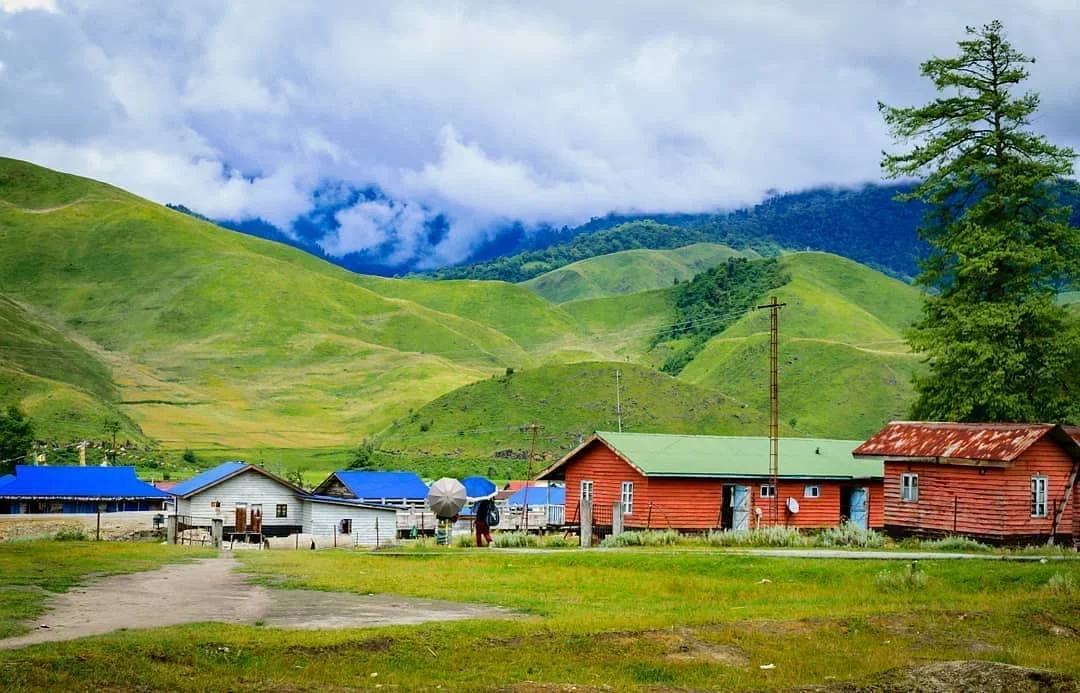
Key Appeal: The trail winds through open grasslands where horses graze, crossing traditional bamboo suspension bridges and passing wooden cottages that resemble the countryside of Scotland.
Travel Infrastructure, Permits, and Logistics
Traveling to this frontier outpost requires careful planning due to its remote location, unpredictable mountain roads, and sensitive border-zone status.
Entry Permits and Regulatory Framework
Arunachal Pradesh is a protected border state, and all visitors must secure valid entry permits before arrival.
| Parameter |
Inner Line Permit (ILP / e-ILP) |
Protected Area Permit (PAP) |
|---|---|---|
| Target Audience |
Indian Citizens residing outside Arunachal Pradesh |
Foreign Nationals (including OCI/PIO cardholders) |
| Minimum Group Size |
Individual travelers can apply |
Minimum of 2 foreign nationals traveling together |
| Required Documents |
Aadhaar, Voter ID, Driving License, or Passport |
Valid Passport, Indian Visa, and pre-booked itinerary |
| Financial Cost |
Rs. 300 (up to 3 days); Rs. 500 (4 to 14 days) |
USD 30 to 50 (plus agency service fees) |
| Application Portal |
Online via |
Must be processed through a registered travel agency |
| Processing Time |
Near-instant to 24 hours during working days |
2 to 4 weeks (highly recommended to apply early) |
Note: For sensitive border areas like the Lamang Border Post or Yarlung Camp near the LAC, all travelers—including Indian citizens—must obtain an additional Restricted Area Permit (RAP) or military clearance from the Deputy Commissioner's office in Aalo.
Overland Routes
Most travelers reach Mechuka by road, typically starting from Dibrugarh in Assam and splitting the long journey over two days.
| Route Segment | Distance | Average Travel Time | Road Conditions & Travel Advisories |
|---|---|---|---|
|
Dibrugarh to Aalo (Along) |
~250 km |
8 to 10 Hours |
Paved national highway crossing the Bogibeel Bridge over the Brahmaputra. Aalo is the recommended overnight stop. |
|
Aalo to Pene |
100 km |
4 to 5 Hours |
Decent highway for the first 70 km, followed by steep, narrow unpaved trails. Subject to scheduled daily road closures. |
|
Pene to Tato |
35 km |
1.5 to 2 Hours |
Rough mountain roads running parallel to deep river gorges. |
|
Tato to Mechuka |
47 km |
2 to 3 Hours |
Narrow, winding roads with active BRO construction crews. The road is unserved by restaurants or restrooms. |
-
Nearest Airport: Pasighat Airport (~300 km away) is the closest regional airstrip. Dibrugarh Airport (DIB, ~450 km away) serves as the primary aviation hub, offering daily connections to major Indian cities.
-
Helicopter Service: Under the federal UDAN scheme, Sky One Airways operates a twice-weekly helicopter service (Mondays and Fridays) using MI-172 helicopters.
| Day | Departure Station | Departure Time | Arrival Station | Arrival Time | Flight Duration |
|---|---|---|---|---|---|
|
Monday / Friday |
Naharlagun |
09:00 AM |
Pasighat |
10:10 AM |
70 Minutes |
|
Monday / Friday |
Pasighat |
10:40 AM |
Aalo |
11:05 AM |
25 Minutes |
|
Monday / Friday |
Aalo |
11:25 AM |
Mechuka |
11:55 AM |
30 Minutes |
|
Monday / Friday |
Mechuka |
12:15 PM |
Aalo |
12:45 PM |
30 Minutes |
|
Monday / Friday |
Aalo |
01:05 PM |
Pasighat |
01:30 PM |
25 Minutes |
|
Monday / Friday |
Pasighat |
02:00 PM |
Naharlagun |
03:10 PM |
70 Minutes |
Note: Helicopter flights are highly weather-dependent and frequently cancelled due to alpine fog. Bookings can be made through local civil aviation counters between 7:00 AM and 4:00 PM.
Accommodation Options and Traditional Hospitality
In Mechuka, the hospitality sector is centered on cultural immersion rather than commercial luxury, with local homestays serving as the primary lodging option.
Gebu Sona's GTL Homestay (GTL Dongsar)
GTL Homestay is one of the oldest and most popular family-run lodges in Mechuka, managed by Mr. Gebu Sona and his family.
-
Architecture & Layout: The property features a single-story traditional house designed in a classic Tibetan style. The guest rooms include private bathrooms and access to a balcony with a hammock and sofa overlooking the valley. The adjacent family kitchen is built entirely of timber, featuring traditional copper utensils and a central iron fireplace where the host gathers guests to share stories of Tibetan history and folklore.
-
Cuisine: Meals are prepared with fresh ingredients harvested directly from the family greenhouse and gardens. Traditional Tibetan food is served for breakfast and dinner, including specialty millet pancakes.
-
Activities: The hosts can arrange local activities, including horse riding, cycling, archery, river rafting, and winter picnics on the river islands.
-
Pricing: Rates range from Rs. 1,500 to Rs. 3,500 per night, which includes breakfast and dinner.
Alternative Accommodations
-
Deluxe Resorts: Options like Dorjeeling 0KM Resorts provide more modern amenities and private cottages for travelers seeking a structured resort experience.
-
Standard Homestays: Options like Dhondup Homestay, Potala Homestay, Reyi Homestay (in Aalo), Lhasa Homestay, and Zenyor's Homestay offer clean, budget-friendly rooms starting at Rs. 1,000 per night.
| Accommodation | Category | Key Features | Average Daily Cost |
|---|---|---|---|
|
GTL Homestay (Gebu Sona) |
Premium Heritage Homestay |
Traditional Tibetan architecture, organic greenhouse dining, indoor iron fireplace |
Rs. 1,500 to Rs. 3,500 (includes half-board) |
|
Dorjeeling 0KM Resorts |
Deluxe Mountain Resort |
Modern private cottages, panoramic valley views, standard traveler amenities |
Rs. 4,000 to Rs. 6,000 (room-only) |
|
Dhondup / Potala / Zenyor's |
Standard Budget Homestay |
Basic family guestrooms, traditional home-cooked meals, local guiding |
Rs. 1,000 to Rs. 1,800 (room-only) |
|
Toshi Palace (Aalo) |
Standard Transit Hotel |
Clean transit rooms, secure parking, recommended for overnight road stops |
Rs. 2,000 to Rs. 3,500 (room-only) |
The traditional food of Mechuka is shaped by its high-altitude environment and Tibetan heritage, relying on cold-hardy crops, preserved meats, dairy fats, and fermentation.
Tsampa (Roasted Barley Flour)
Tsampa is the primary dietary staple of the Memba tribe. The preparation is labor-intensive: raw barley grains are washed, sun-dried, sand-roasted in large iron pans, and ground into a fine flour using water-powered stone mills.
Because the flour is pre-roasted, it requires no further cooking, serving as a convenient food for nomads and mountain travelers.
Typically, tsampa is eaten by placing a portion of the flour in a wooden bowl, pouring hot butter tea over it, and using a single finger to gently mix and knead the mixture into a dense, bite-sized dumpling.
Beyond its nutritional role, tsampa holds spiritual significance; throwing pinches of raw tsampa into the air is practiced during Buddhist New Year rituals, marriages, and funerals to invoke the protection of deities and mark celebrations.
Gur-Gur Cha (Tibetan Butter Tea)
An essential beverage in every Memba household, Gur-Gur Cha is designed to provide hydration, warmth, and energy in cold climates. The tea is prepared by boiling fermented black tea leaves for several hours to extract a dark, bitter concentrate. This liquid is then transferred to a chandong (a tall wooden cylindrical churn) along with yak butter, salt, and sometimes milk.
The mixture is churned rhythmically until it emulsifies into a thick, frothy, soup-like beverage. In local etiquette, it is customary for the host to continuously refill a guest’s cup before it is completely empty, symbolizing hospitality and communal bonding.
Local Fermented Delights and Specialty Dishes
-
Thukpa and Gyathuk: Hearty hand-pulled wheat noodle soups cooked with local wild greens, radishes, and seasoned with mountain peppers.
-
Millet Pancakes: Made from ground local millet flour and pan-fried on flat iron griddles, typically served alongside butter tea or garlic-chili-Sichuan pepper sauces.
-
Opong and Chaang: Traditional homemade alcoholic beverages. Chaang is a warm, semi-fermented millet beer popular among the Membas, while Opong is a millet-and-maize-based wine brewed by the Adi clans to celebrate harvests and communal hunts.
Analytical Conclusions: The Infrastructure Paradox and Sustainable Tourism Future
The construction of the two-lane highway by the Border Roads Organisation (BRO), scheduled for completion in early 2026, marks a major transition for Mechuka. This development will dismantle the geographical barriers that have historically isolated the valley, significantly reducing travel times from Aalo and improving safety by bypassing treacherous, unpaved cliffs.
For the local population, this connectivity will improve access to emergency healthcare, lower the cost of imported goods, and expand the market for local homestays. However, this infrastructural shift also presents a challenge to the valley's cultural and ecological preservation. The raw, untouched isolation that has protected the traditional lifestyles of the Memba and Adi tribes is poised to transition into a phase of rapid commercial tourism.
As larger resorts and commercial hotels begin to develop, the intimate, family-run homestays that define the current travel experience may face commercial pressure. For the selective traveler, this transition highlights a narrow window: visiting Mechuka now offers a chance to experience one of the last remote Himalayan frontiers before it is reshaped by modern connectivity.
Keep Reading
View All Articles-
Complete Guide to Muktinath (Muktikshetra): The Ultimate Pilgrimage in Nepal
Muktinath, known traditionally as Muktikshetra (the site for salvation), stands as one of the most spiritually profound, historically rich, and visually breathtaking pilgrimage destinations in the world.
-
Kailash-Manasarovar: The Nepal Route
Axis Mundi: Spine of the Universe, The Ultimate Guide to Kailash Manasarovar Yatra via Nepal: Itinerary, Safety, Sacred Geography, and Preparation
-
Guide for the Gangotri to Gaumukh Alpine Route (2026 Season)
The high-altitude corridor connecting the holy town of Gangotri to the glacial snout at Gaumukh